Tectonic Evolution of North America
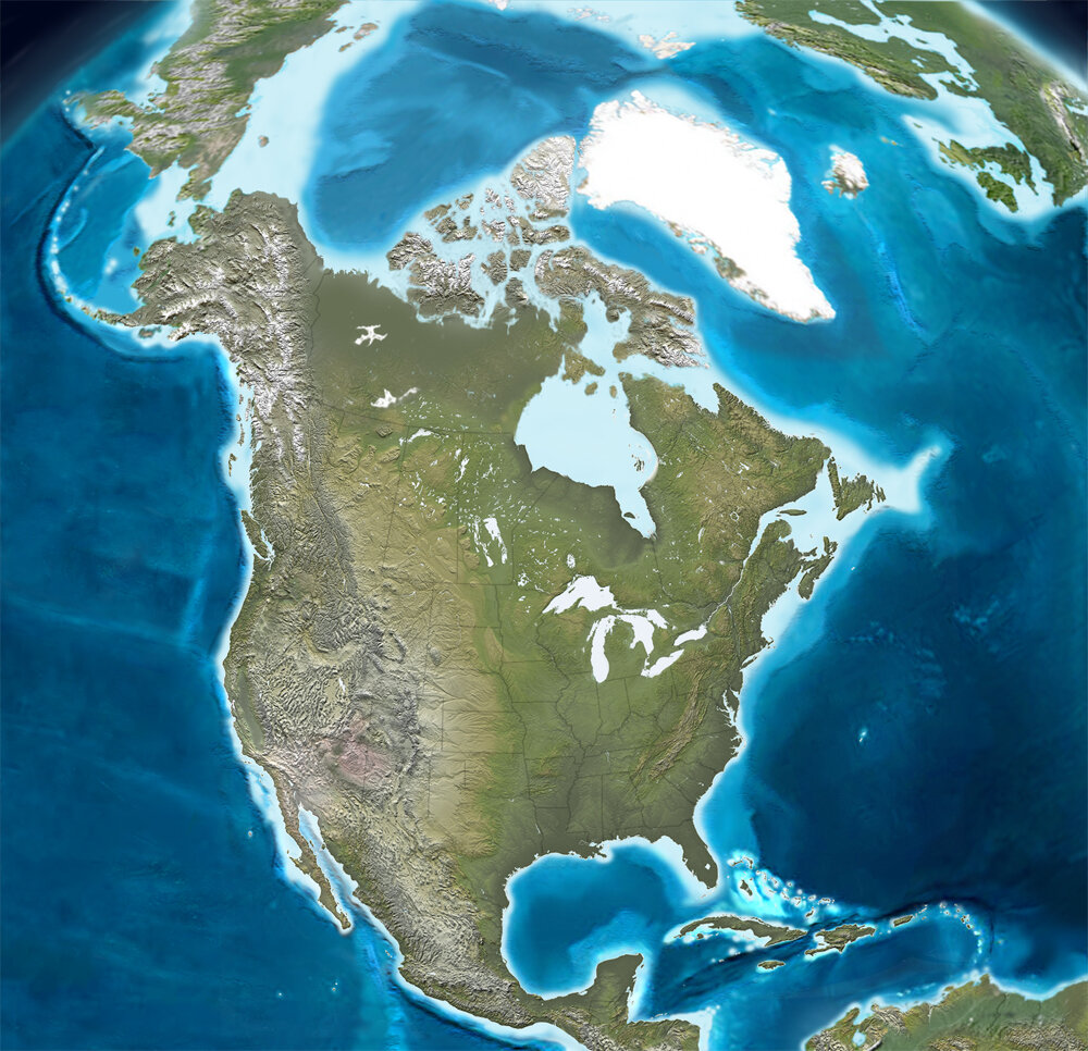
North America
has an amazing history that spans geologic time.
In this course, students learn about plate tectonics through the lens of North America.
Blakey maps are great for students to visualize paleo-environments and unravel the history revealed in rocks

Paleogeographic reconstructions captivate students and facilitate synthesis of core curricula knowledge into a seamless 4D view of the Earth
In this course, students also:
read and reflect on some classic plate tectonics papers
explore some of the latest research available
execute weekly exercises that develop a broad, multidisciplinary understanding of Earth Science
Write frequently and receive feedback on their writing
Click here for an example syllabus
Below are examples of exceptional student coursework

Seismic reflection profile
interpretations of passive margin systems

Structure contour map
of the top of the Wolfcamp D in the Permian Basin, SE NM and SW TX.
Students also created a well-plan from their structure contour maps

Seismic refraction study to “find the Moho”. Students download and pick P-wave arrivals from seismograms for a set of stations, then plot data and make calculations to estimate Moho depth. Students then compare their calculations with published maps.


Students explore published petrological and geochemical data to evaluate petrogenetic variations across the Sierra Nevada Batholith